Google Maps Is Using AI To Update Business Hours Of Places
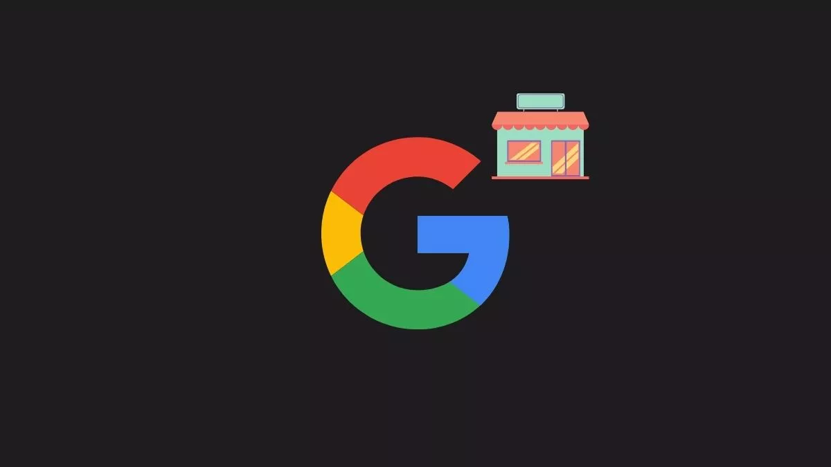
Google Maps will use AI to update the business hours of stores that haven’t been altered from time immemorial. To do so, it will factor in pretty much every small data that indicates the operating hours of a business.
If it finds any discrepancy in the current data and the one measured using AI, it will update it. Moreover, Google Maps will even update speed limits of the road using AI and human input.
How will Google Maps’ AI find out working hours?
Automatically updating Google Maps for business owners working hours is tricky. Google thought of this otherwise undisclosed problem amid the pandemic. The operating hours became erratic and haven’t changed much since then. So, Google decided to update the working hours of businesses using AI.
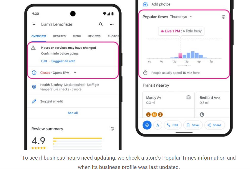
Google designed a machine learning model that proactively identifies if the business hours are listed correctly. It does so by identifying patterns like when the store is most busy, the images of the storefront about the timings, opening and closing hours, and much more. Then it decided whether the actual hours are updated on the Google My Business profile or not. If the information on the GMB page is different than the collected data, it updates it.
Apart from using AI to update the page listings, Google will use Duplex conversational technology. It will do so to enquire about correct business hours and use AI to update that on Google Maps.
What is Google’s Duplex conversational technology?
The tech focuses on using conversations to obtain the correct information. The AI voice calls the store owner and collects the responses. Moreover, it tries hard to sound natural and requires minimal input at the owner’s end. Using this tech for assimilating working hours will save Google from going door to door.
Apart from the business timings update, Google will use AI to update speed limits for different roads. This is a safety measure to showcase speed limits while navigating using Google maps. To do so, Google will use third-party imagery partners. They will verify with images the speed limits signs on a particular road.
The AI will compare the image with the current information on the map. Thus, it will update the speed limits to ensure more security for users of Google maps. Google maps also inform about toll plaza rates now. In a recent update, now you can know about toll prices. Moreover, it can suggest you roads to avoid these toll booths if possible.