Google Maps New COVID-19 Alerts Will Help Users Avoid Crowded Areas
Google Maps is rolling out a dedicated service to notify users regarding COVID-19 travel restrictions. This feature will help people mitigate the dangers of Coronavirus while commuting and planning long travels.
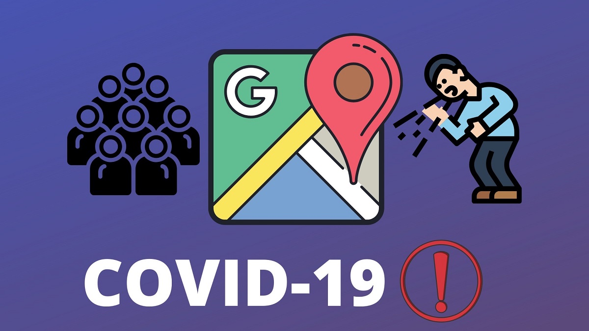
Google Maps COVID-19 alerts will inform you if the transit stations or train rides are crowded or “whether the bus is running on a limited schedule”
Google Maps COVID-19 Alerts
The new alerts service of Google Maps will also inform users about the COVID-19 test centers and the availability of the testing facilities at these centers.
This will save users’ time as they can simply dodge the places where there are a lot of crowds and go for their check-up where the services can be availed easily. Initially, the medical facilities alert service will be available in South Korea, Indonesia, the US, Philippines, and Israel.
The new alerts will also include details regarding travel restrictions on crossing national or state borders. The service will start rolling out initially in the United States, Mexico, and Canada.
The feature will also alert users of large crowds at a bus stop, metro station, or railway station. This will help people avoid traveling during peak hours.
Alerting users about crowded spots will certainly help people commute safely and conveniently. This feature will also help people follow social distancing norms.
Previously, Google Maps rolled out a temperature check feature and security onboard feature for convenient and safe journeys. These features were launched in February 2020. A women’s section feature was also launched by Google Maps considering women’s safety and security.